
Aggregate data by layering in imagery from other 3D digital collection systems (drones, terrestrial scans) With this ability to view all asset data in our cloud-hosted 3D viewer, users can work together to resolve issues before they affect schedule and budget.
You only pay for the data you use. This flexibility, paired with avoiding the cost of highly trained personal, expensive post-processing software and the delays in accessing data, means your overall cost of ownership is reduced while driving enhanced value.
Fast, same day data processing by our system within minutes of upload from the field. Data delivery matches your construction or operations phases helping you identify actionable opportunties as they arise. No special software or additional costs required.
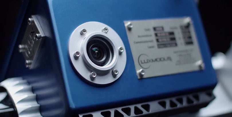
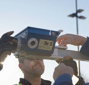
Mobile mapping and data collection platform with integrated high-resolution LiDAR and imagery sensors. Can be attached to almost any type of vehicle for easy scanning of the surrounding environment.
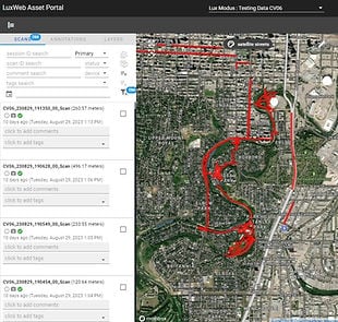
3D point cloud and imagery viewer that displays imagery collected, lets you tag or comment on scans, and enables you to view all the geo-reference data associated with them.
Easy, out-of-the box mobile field data collection hardware deployable by anyone, in minutes—with no specialized expertise or skill sets required.
Rally as a team to understand real-time asset conditions – working off the same irrefutable data set, accessible by anyone, anywhere, anytime.
Advanced, affordable, and accessible technology to map large, remote infrastructure assets—quickly.
Infrastructure Program Manager in Canada’s Energy Industry
Data uploaded directly to cloud for automatic processing.
资料来源:企业官网公司介绍页面(复核日期:2026-10-29)。